|
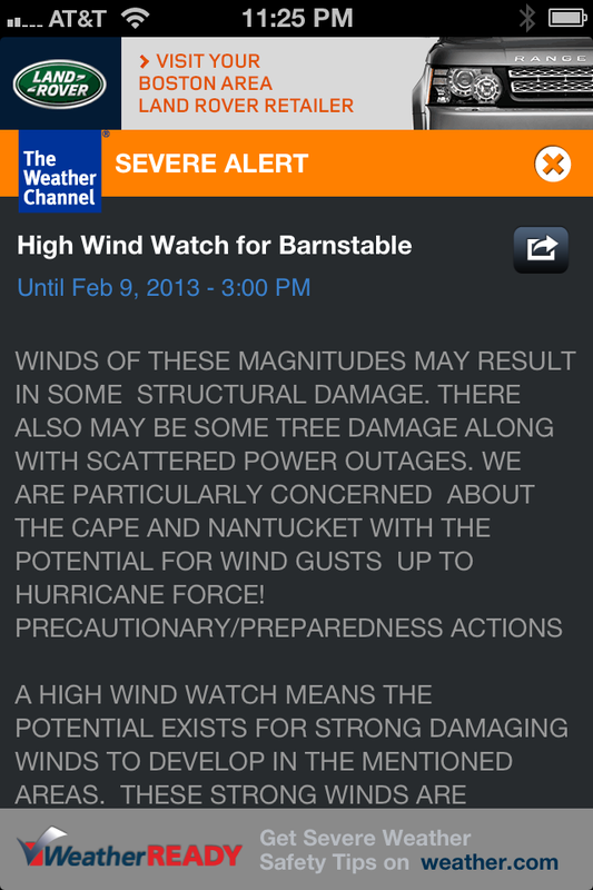
Visit NBCNews.com for breaking news, world news, and news about the economy Update: 2:00pm Thursday My friend, the meteorologist Wayne Mahar from "CNY Central" in Syracuse, provided this custom forecast for us. He writes: CC/Isles combo snow & wind. AVG 14-22" rain/mix to snow. Gusts 70 mph IF trak stays. Many PWS clients there we R monitoring. Wayne can be heard on radio station WACK on Nantucket. Tune in to hear his reports and follow him on twitter @WayneStormWatch. Thank you for your help Wayne! _______________________________________________________________________________ Earlier: A powerful nor'easter with the potential to develop into a blizzard is expected to hit Cape Cod and the islands beginning tomorrow morning. Forecasts vary widely, with some meteorologists in Boston predicting 6 to 8 inches of snow and other weather scientists, like meteorologist Bill Karin's of MSNBC calling for two feet of snow and possibly more on the upper Cape. Karin's early prediction of Superstorm Sandy last year set him apart from other meteorologists who were slow to commit to the rare hybridized hurricane. In advance of the storm, tree crews are trimming branches near power lines and travelers are cancelling northeast flights. The National Weather Service issued a "Blizzard Watch", meaning conditions are favorable for sustained winds of at least 35 mph and visibility reduced to a quarter mile or less for at least three hours--the definition of a blizzard. Ironically, it is 35 years to the week that the Blizzard of '78 struck southern New England which brought this region to a halt. I was a college junior at Salve Regina College in Newport, RI back then and recall helping shovel classmate's cars out of the dormitory parking lot for days. Not that we could go anywhere in the cars. Driving in anything but a four-wheel drive vehicle was banned for a week. As NBC's Al Roker states in the video above, this storm is "gunning" for the 27.1 inches of snow which fell in 1978. Everyone I know on the Cape is talking about the storm and preparing for it. My real estate office cancelled Saturday Open Houses, people are cooking a pot of chicken soup and they're readying the snow shovel at the back door.
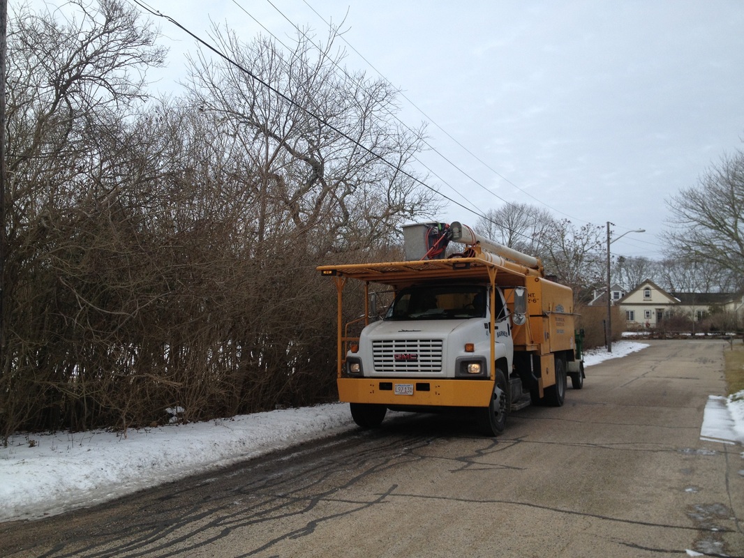
In my neighborhood in Harwich today, tree crews with Barnes Tree Service from Rochester, MA are trimming branches deemed too close to power lines. This is not fluffy lake snow like Syracuse, NY. This is heavy, wet ocean snow which combined with 75 mph gusts, will bring down trees and power lines. Unlike 1978 we have several day's advance warning with pinpoint radar technology. Here is hoping all the preparation pays off and we come through this one unscathed.
2 Comments
Barbara Kivlehan Glover
2/7/2013 11:36:42 am
I remember clearly the Blizzard of 1978. I too was a Junior at Salve Regina College. I was supposed to go to Providence the day the storm hit but decided against going. It was great to walk down the middle of Memorial Blvd as only SUVs were allowed.
Reply
Maureen
2/7/2013 01:52:23 pm
Barbara I'm happy to see your comment. I was in Miley Hall that year and my window overlooked the parking lot. I don't really remember the storm as much as the endless shoveling around cars for days afterward.
Reply
Leave a Reply. |
Maureen Green
|


